
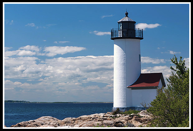
Annisquam Harbor Lighthouse
36 Norwood Heights, Annisquam, Massachusetts
Built in 1801
Location:
At what is known as Wigwam Point marking the entrance to Annisquam Harbor. The lighthouse is on Lighthouse Road off Wigwam Road.
Latitude: 42° 39' 43" N
Longitude: 70° 40' 52" W
Historic Stories:
Wigwam Point near the current lighthouse was once a gathering place for local Native Americans.
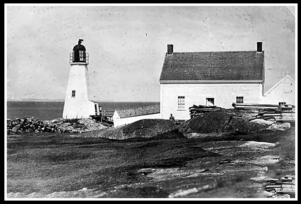
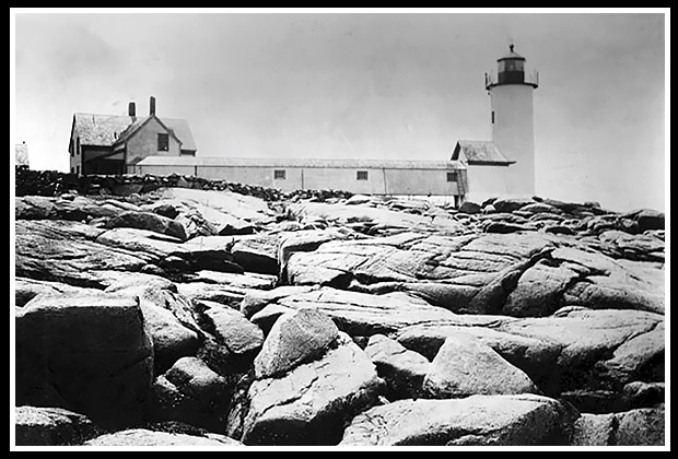
Vintage Image Annisquam Light |
The lighthouse was built at the entrance to Annisquam Harbor in 1801, than replaced in 1897. |
The first Keeper, George Day, tended the lighthouse from 1801 to 1850. He was allowed to keep a cow by the station for sometime to provide milk for his family.
Rudyard Kipling stayed at the station once to work on his book, Captain’s Courageous.
Wreck of Two Schooners- Same Location, Same Day
On September 26, 1888, during a storm, two schooners went around on Coffin’s Beach, across the river from the lighthouse. One was the two-masted I. W. Hine, which the crew was able to make ashore without assistance or serious injuries. The schooner was refloated days later.
The other wreck that day was the Abbie B. Cramer, a three-masted coal schooner from Baltimore that was heading for Portsmouth, New Hampshire. Keeper Hooper saw the distress signal and notified the Davis Neck Lifesaving Station nearby. As the lifesavers arrived on the beach a distance from the wreck, they tried to land a line for a breeches buoy, but they couldn't hit their target with several tries.
| A group of Massachusetts Humane Society volunteers came to the lighthouse and took a lifeboat by the lighthouse to help the crew of the Cramer across the river. | 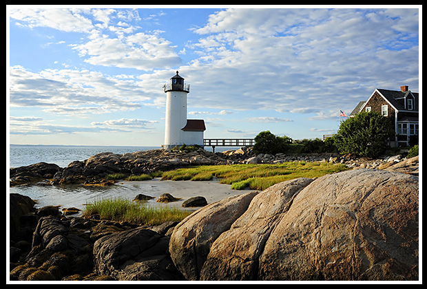 |
At first they had to row the heavy boat across the river to the west side, and then they had to carry it two miles along the beach to get near the wreck, as they were unable to launch the boat in the rough waves. The exhausted lifesavers finally launched the boat into the surf and succeeded in rescuing the entire crew of the Cramer, who had been clinging to the rigging waiting for help for many hours. The schooner was a complete loss and years later Keeper Hooper reported he could still see wood fragments from the schooner sticking out of the sand at low tide.
1n 1890, the schooner Mexican with a cargo of coal, got caught in a September nor'easter and wrecked about 500 feet from the lighthouse. The crew made it ashore from the wreck, and that winter, many locals salvaged the stranded coal for their heat.
1914 Early Image |
In 1922, a newly developed electrified fourth-order lens was added to the lighthouse with a single light source…a 100-watt light bulb. |
The light could be viewed eight nautical miles out.
Places to Visit Nearby:
The lighthouse is located in the middle of a small waterfront neighborhood and is off limits to visitors, especially during the summer months. Annisquam is located just outside the city of Gloucester.
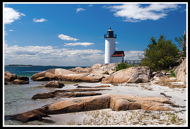 |
There is a beach nearby the lighthouse that provides nice views of the lighthouse, especially in the off-season. |
Wingaersheek Beach located across the river in Gloucester, displays a nice view of the lighthouse.
Heading out of Annisquam, taking Route 133 North onto Route 1A, is the little historic town of Ipswich. The Crane Estate on Castle Hill is one of the most famous seaside estates with the mansion steeped in Italian Renaissance, and hiking trails on the wildlife refuge. There you’ll find one of the cleanest white sand beaches, Crane Beach. It is on 1,234 acres of conservation land consisting of four miles of a long sandy beach front, dunes, and a maritime pitch pine forest.
Directions:
The beach nearby is private for residents only and is strictly enforced during the summer season. Go there only during the off season for quick photos.
- Follow Route 95 to Route 128 towards Gloucester.
- From the rotary at the junction of Highways 127 and 128 east of Gloucester, go north on Highway 127 (Washington Street) for 3 miles to Bridgewater Street. Left onto Bridgewater Street.
- Turn left onto Leonard Street (next to a white church)
- Turn right onto Norwood Heights (sign) after almost a half mile.
- Follow this road to a fork, bearing right at the fork, crossing Ocean Avenue, keeping to the left, then turn right at the “T”, and then make a quick left onto Wigwam Road.
- At the end of Wigwam Road you'll see the beach area which is part of Lighthouse Road.
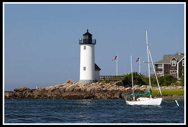
Local Boat Tour
Harbor Tours Inc. of Cape Ann
In addition to its lobstering and harbor tours, they provide a special Cape Ann Lighthouse Cruise all along Cape Ann that covers six area lighthouses.
P.O. Box 719
Gloucester, MA 01930
(978) 283-1979
Email info@capeannharbortours.com.
Books to Explore
New book coming out August 1, 2026! 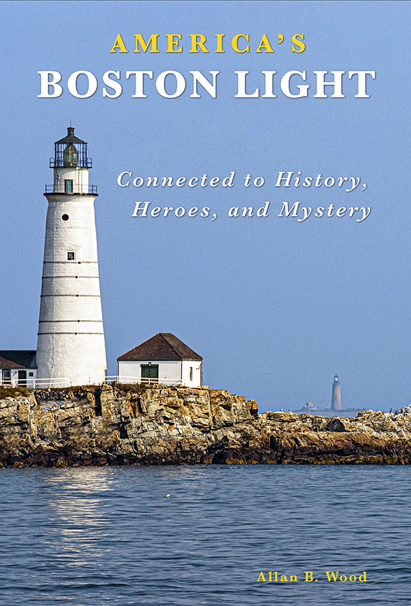 Available in paperback. |
America's Boston Light: Discover Boston Light’s 310-year history and its ties to key historical events, all presented with plenty of color and vintage images. Learn the story of its first lighthouse keeper, including his tragic death, and explore the social customs of the colonial era. Find out about the lighthouse’s connections to notable figures like Ben Franklin and uncover intriguing mysteries. Read about shipwrecks and the rescue missions carried out by the keepers, and years later, coordinated rescues with the Hull Lifesavers on shore. |
Available in paperback. |
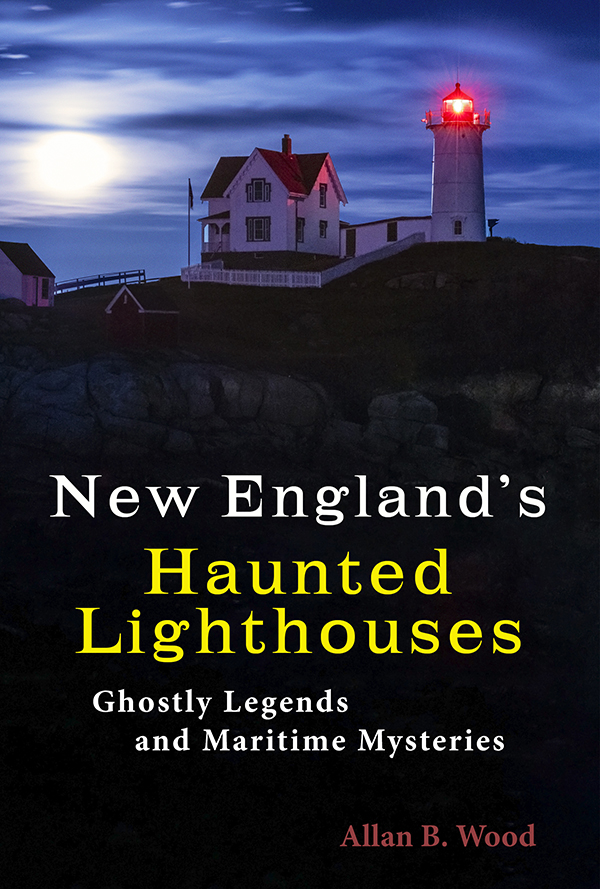
New England's Haunted Lighthouses: Explore the historical mysteries surrounding the haunted lighthouses of New England! This image-rich book features ghost stories about spirits of devoted keepers who linger, victims of foul play or local shipwrecks, ghost ships, lost souls, and more, blending maritime history with the supernatural. Uncover the tales linked with these iconic beacons! |
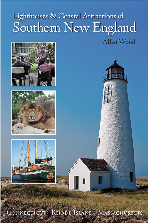
Lighthouses and Coastal Attractions of Southern New England: Connecticut, Rhode Island, and Massachusetts This book provides special human interest stories from each of the 92 lighthouses of the south states of New England, along with plenty of indoor and outdoor coastal attractions you can explore, and tours. Look inside! |
|
 Available in paperback, hardcover, and as an eBook for all devices.
|
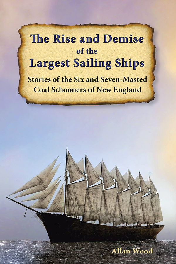
The Rise and Demise of the Largest Sailing Ships: In the early 1900s, New England shipbuilders constructed the world’s largest sailing ships amid social and political reforms. These giants of sail were the ten original six-masted coal schooners and one colossal seven-masted vessel, built to carry massive quantities of coal and building supplies, and measured longer than a football field! This book, balanced with plenty of color and vintage images, showcases true stories that include competitions, accidents, battling destructive storms, acts of heroism, and their final voyages. |