
Butler Flats Lighthouse
New Bedford, Massachusetts
Built in 1898
Location:
Located in the New Bedford Channel at the entrance to New Bedford Harbor. Can be easily viewed from Fort Taber Park.
Latitude: 41° 36' 12" N
Longitude: 70° 54' 42" W
Historic Stories:
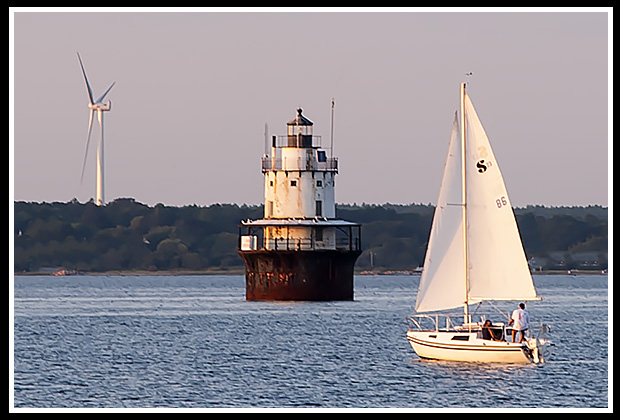
The construction of Butler Flats lighthouse was an engineering feat since there was no rock edge to build the structure on, so a 35 foot iron cylinder filled with concrete had to be lowered into the muddy river bottom.
| This cylinder was able to support the 53-foot spark plug type lighthouse within the strong currents of the channel. | 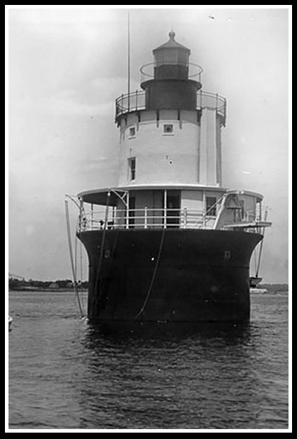
Early Butler Flats Light |
The same engineer who built the foundation for the Statue of Liberty was called upon in creating the foundation for Bulter Flats Light.
Butler Flats light eventually replaced Clark’s Point Lighthouse, which was relocated to Fort Taber in 1869 (later renamed Fort Rodman).
Butler Flats Lighthouse is the only lighthouse in the US flying a lighted American flag 24 hours a day.
In 1997, inmates from the Bristol County House of Correction, in coordination with the County Sheriff’s and Mayor’s offices, were directly involved in rewiring the lighthouse’s electrical system, and construction on the lighthouse ceilings, walls, floors, and stairway.

Places to Visit Nearby:
In New Bedford you’ll find the New Bedford Whaling National Historic Park with its cobblestone streets, specialty shops, and museums. New Bedford’s Whaling Museum displays maritime exhibits and historical artifacts from its hay day in the 19th century, as the nation’s whaling capital. Palmer Island light can be seen from the museum.
Fort Taber (or sometimes referred as Fort Rodham) has been restored as a recreational park to enjoy views of the harbor and lighthouse. |
 |
Clark’s Point Lighthouse is located on top of the Fort.
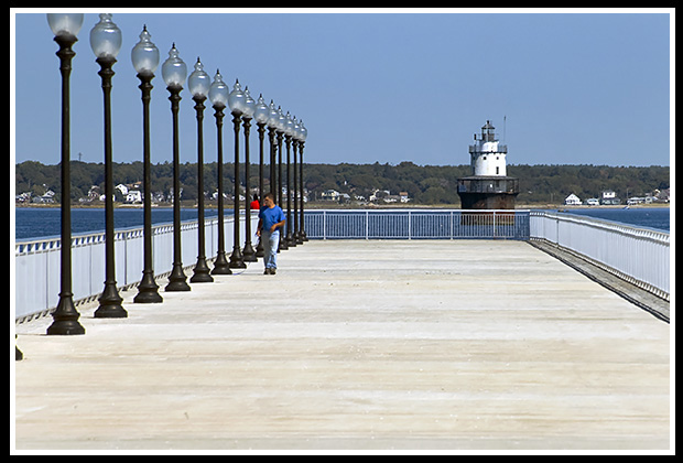 |
A lighted boardwalk has also been added for visitors to relax, or fish off shore. |
Events are scheduled during the summer months.
Seastreak to Martha’s Vineyard from New Bedford passes by the lighthouse. The Cuttyhunk Ferry passes the lighthouse as it leaves the harbor.
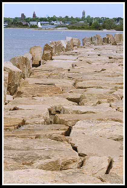
For those who enjoy hiking, take a good hike that spans over 9,000 feet on the largest hurricane barrier on the East Coast, protecting New Bedford Harbor. |
 |
Directions:
- Take Route 18 south in New Bedford.
- Route 18 will turn into Water Street and then West Rodney French Boulevard.
- Continue south and you will see Fort Taber Park, with the fort and the lighthouse at the southern end of the peninsula.
Alternate Directions from US Route I-95 North:
- From US Route I-95 North in New Bedford, take Exit 15 and follow Route 18 South.
- Take the “Downtown” exit onto Water Street.
- Take a left at Union Street (one way) and cross over Route 1 (Kennedy Highway)
- Take a right at Frontage Road (Front Street).
- From Frontage as it veers to the right, go past the pier and follow to MacArthur Drive then turn left.
- Take Right at Potomska Street
- Left at Front Street
- Cross Gifford Street into Norton Court
- Left at Cove Road onto East Rodney French Blvd.
- View the lighthouse from the seawall south of Ricketson Street or from Fort Taber Park, which you can visit.
Contact Info:
City of New Bedford
133 William Street
New Bedford, MA 02740
Local Boat Ferries
These ferries may pass close by the lighthouse coming to and from New Bedford's Harbor for easy photographs, but do not offer specific lighthouse tours.
Cuttyhunk Ferry Company, Inc.
66B State Pier, South Bulkhead
New Bedford, MA 02740 (508) 992-0200
Seastreak
Ferry from New Bedford to Martha’s Vineyard
49 State Pier
New Bedford, MA 02740
(866) 683 3779
Books to Explore
Available in paperback. |
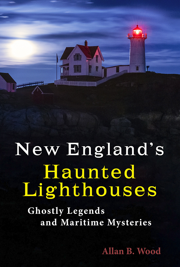
New England's Haunted Lighthouses: Explore the historical mysteries surrounding the haunted lighthouses of New England! This image-rich book features ghost stories about spirits of devoted keepers who linger, victims of foul play or local shipwrecks, ghost ships, lost souls, and more, blending maritime history with the supernatural. Explore the tales linked with these iconic beacons! |
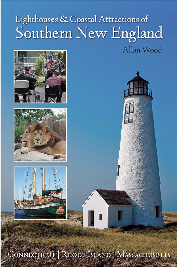
Lighthouses and Coastal Attractions of Southern New England: Connecticut, Rhode Island, and Massachusetts This book provides special human interest stories from each of the 92 lighthouses along the southern New England coastline, along with plenty of indoor and outdoor coastal attractions and tours. Look inside! |
|

Available in paperback, hardcover, and as an eBook for all devices.
|
The Rise and Demise of the Largest Sailing Ships: In the early 1900s, New England shipbuilders constructed the world’s largest sailing ships amid social and political reforms. These giants of sail were built to carry massive quantities of coal and building supplies and measured longer than a football field! These true stories include competitions, accidents, battling destructive storms, acts of heroism, and their final voyages. |