
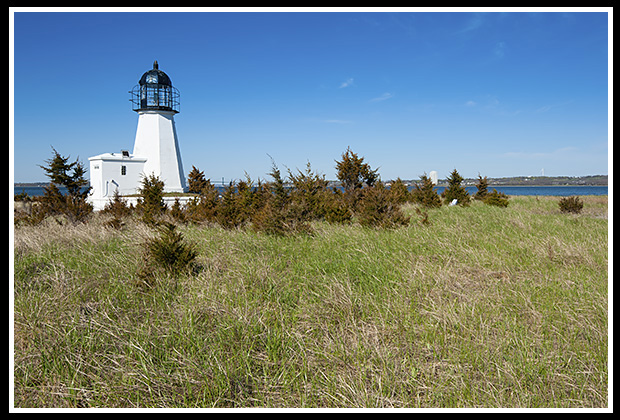
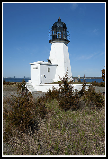
Prudence Island (Sandy Point) Lighthouse
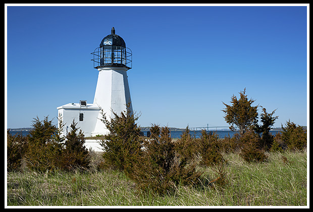
Prudence Island, Rhode Island
Built in 1852
Location:
On Prudence Island in Narragansett Bay. Take the Brsitol-Prudence Is ferry to the island, then take Sandy Point off Narragansett Avenue, Prudence Island.
Latitude: 41° 36' 23" N
Longitude: 71° 18' 13" W
Historic Stories:
The East Side Passage of Narragansett Bay was the major shipping channel to Newport Harbor, Bristol Harbor, and Providence. Seaport villages around these harbors developed as prosperous shipbuilding, fishing, and trading centers.
Prudence Island Lighthouse was originally built in 1823 on Goat Island, in Newport, and served as the Goat Island Lighthouse until 1842, when it was discontinued
As shipping, whaling, and trade grew, along with tourism to the area, the main shipping channel of the East Passage is located near the shoreline of Prudence Island where petitions were made for a lighthouse to be built to guide mariners away from the dangerous shoals offshore and along Sandy Point.
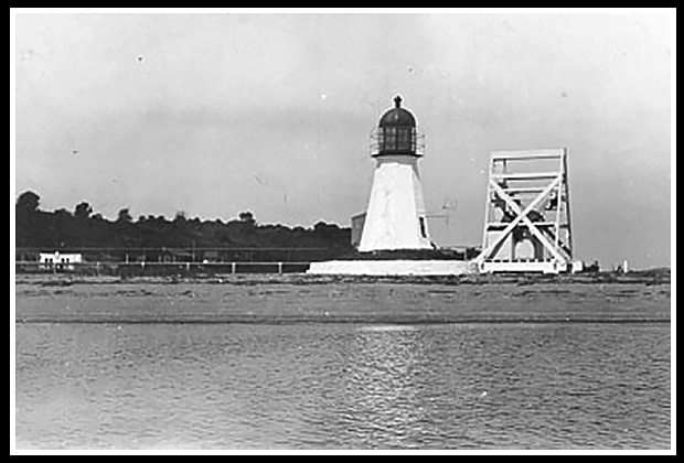 Vintage Image Courtesy US Coast Guard |
In 1852, the light at Goat Island was dismantled and moved to Prudence Island, where it became the current Prudence Island Lighthouse. |
It was reassembled at Sandy Point on the east side of the island with a wooden keeper's dwelling built near the light.
Prudence Island Lighthouse is commonly known as Sandy Point Lighthouse to the locals.
Keeper’s Family And Guests Swept Away During Hurricane of 1938
| In September of 1938, with hardly any warning, New England’s worst hurricane caused massive wind gusts and a huge tidal wave to come up the bay, destroying everything in its path. | 
|
Three guests had arrived the day before to visit Keeper George Gustavus, his wife Mabel, and their 12-year-old son Edward at the lighthouse. They were Martin Thompson, a former Prudence Island Lighthouse keeper, James Lynch, and his wife Ellen. The storm came into the bay as water levels continued to rise. All of the occupants sought refuge in the second floor of the keeper's dwelling structure, suggested by former Keeper Thompson.
However, the massive storm surge raised the water levels so high that huge waves crashed into the keeper’s dwelling and caused the structure to break apart, spilling everyone into the turbulent waters. Keeper Gustavus was swept about a half mile away and was able to cling to remains of a flooded cottage, and made it to shore with the help of a young islander. He learned later that his wife, son, and his guests all perished in the storm. Only the tower survived the hurricane.
For more details about this story and others of the Hurricane of 1938, select the link at the top of the page to be directed to my Lighthouse Stories section.
In August 2001, the Prudence Island Conservancy was given the contract to care for the light, after petitioning to have the contract instead of being given to the American Lighthouse Foundation in Maine, with the help of Congressman Patrick J. Kennedy.
Places to Visit:
Prudence Island is a quiet island with tracts of land maintained by various conservationist organizations like the Prudence Conservancy. Much of the land is primarily owned by the Rhode Island State Park department, Audubon Society and various private foundations.
|
These organizations help to keep development to a minimum. |
There are two large reserves at each end of the island that are open to the public: the Narragansett Bay National Estuarine Sanctuary at the north end and South Prudence State Park, comprised of a closed 800 acre Navy base turned into a visitor center.
Wildlife is abundant with the largest population of white tailed deer per square mile in the Northeast, and there are plenty of public docks for shoreline fishing.
The main beach is about 1 1/2 miles long with a shallow sand bottom.
| There are rarely many people on the beach during the busy season, so no one gets in your way. | 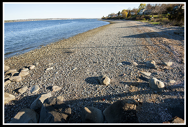 |
There are two general stores on the island which measures about 7 miles long and 1 1/2 miles wide. Be wary that there are no public bathrooms on this quiet place.
|
You are truly in a very relaxing environment, where time seems to have taken a break. |
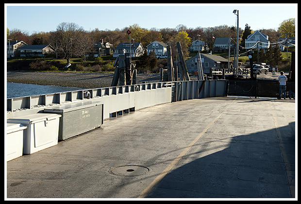
Access to the island is made by boat or by taking the Bristol - Prudence Island Ferry.
| It’s a mile walk to the lighthouse (bring plenty of bug repellent). | 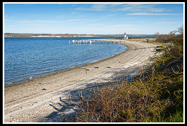 |
Directions:
To the Prudence Island Ferry:
- Prudence Island can be reached via the Bristol - Prudence Island Ferry. Call (401) 253-9808 for the ferry schedule. The ferry landing is in Bristol.
- Take Route 195 East to the Barrington/RI 114 South Exit. Merge onto Route 114 South and travel to to Bristol.
- In Bristol, Route 114 is also named Hope Street.
- Turn Right onto Church Street and drive to the ferry landing at the Church Street Wharf.
From the Ferry Landing:
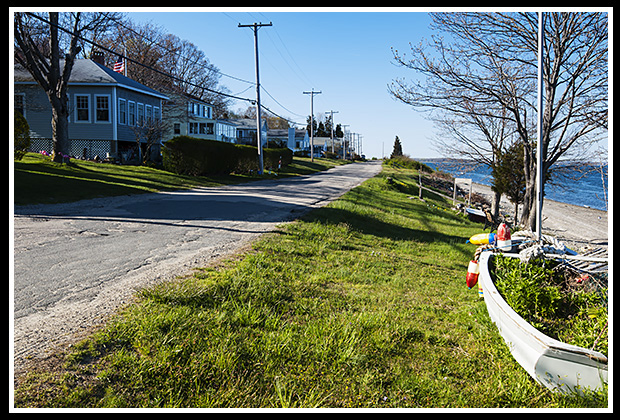
- When you reach Prudence Island, from the ferry landing, go south on Narragansett Avenue for just under a mile.
- Turn left onto Landing Lane, where you will find the lighthouse.
Contact Info:
Prudence Conservancy
P.O. Box 115
Prudence Island, RI 02872
Boat Tours and Ferries
Bristol - Prudence Island Ferry
Daily trips to Prudence Island from Bristol
Church Street Wharf
Bristol, RI 02809
Phone: (401) 253-9808
Rhode Island Fast Ferry
Offers weekly lighthouse tours in season. Their narrated high-speed ferry cruises cover ten Rhode Island lighthouses in Narragansett Bay. They also provide ferry services to Martha's Vineyard and Block Island.
1347 Roger Williams Way
North Kingstown, RI 02852
Phone: (401) 295-4040
Email: info@fastferry.com
Save the Bay Tours
Organization for education on lighthouse and coastal preservation and provides nature and seal watching tours. For those who prefer a relaxing tour, they provide a 7-hour Ultimate Lighthouse Tour covering most of the lighthouses in Narragansett Bay. The cruise includes a stopover lunch to explore the grounds of Rose Island Lighthouse.
100 Save the Bay Drive, Providence, RI 02905
Phone: (401) 272-3540 x103
Books to Explore
New England's Haunted Lighthouses: 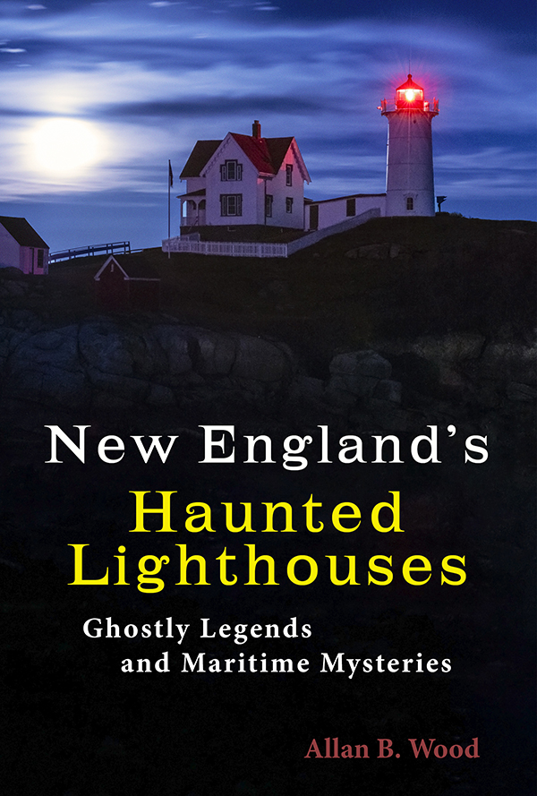
Available in paperback. |
In this image-rich book, discover the historical secrets surrounding the haunted lighthouses of New England! Respectable witnesses have reported numerous ghostly encounters, including the spirits of devoted keepers who refuse to leave, phantom ships, victims of misfortune, restless souls from nearby shipwrecks, and more. Immerse yourself in the stories connected to these iconic landmarks, blending maritime history with the paranormal. |
Lighthouses and Coastal Attractions of Southern New England: Connecticut, Rhode Island, and Massachusetts This book provides special human interest stories from each of the 92 lighthouses of the southern New England states, along with plenty of indoor and outdoor coastal attractions you can explore, and tours. You'll find more accounts of the devastating Hurricane of 1938 and it's effects on lighthouses and light keepers on Narragansett Bay. Look inside! |
|
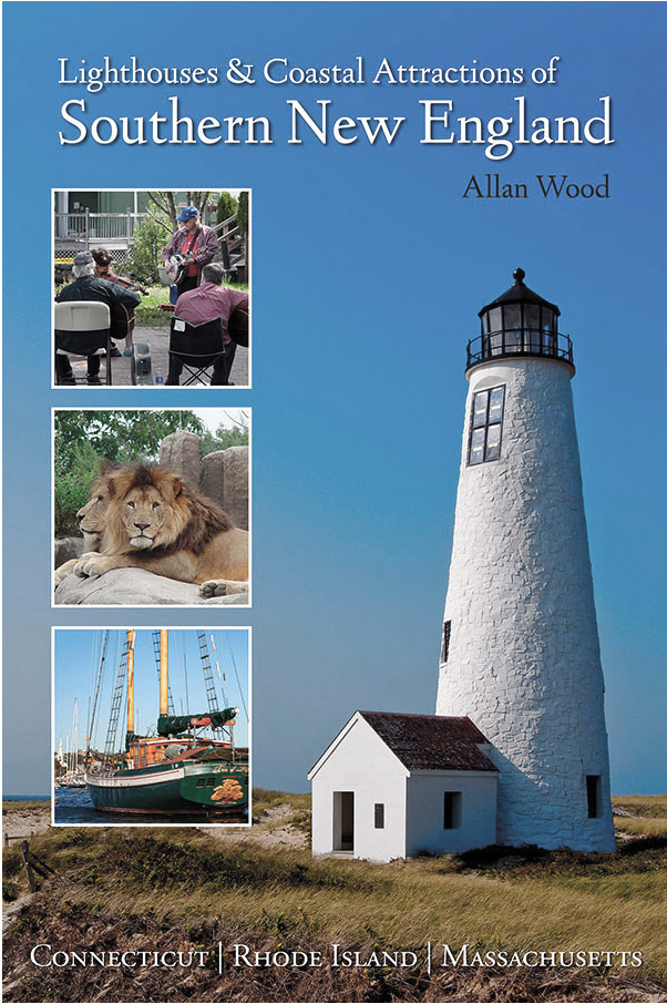
 Available in paperback, hardcover, and as an eBook for all devices.
|
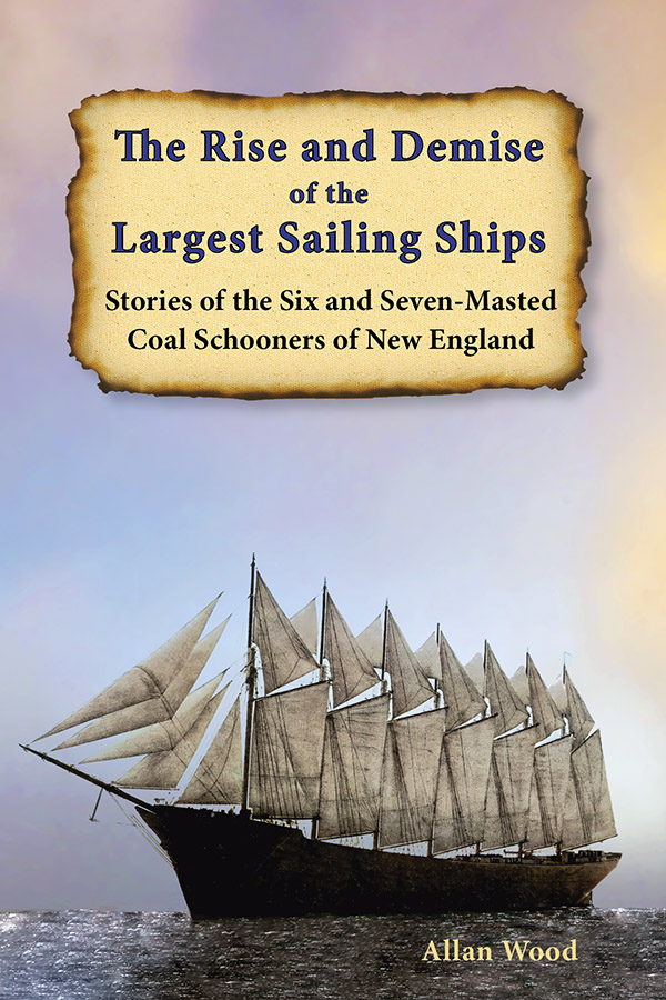
The Rise and Demise of the Largest Sailing Ships: Stories of the Six and Seven-Masted Coal Schooners of New England In the early 1900s, New England shipbuilders constructed the world’s largest sailing ships amid social and political reforms. These giants of sail were the ten original six-masted coal schooners and one colossal seven-masted vessel, built to carry massive quantities of coal and building supplies, and measured longer than a football field! This book, balanced with plenty of color and vintage images, showcases the historical accounts that followed these mighty ships. |